
Count seals in Antarctica from the comfort of your couch
University of Minnesota, 28 Jul 2016.
Scientists are asking the public to look through thousands of satellite images of Antarctica to assist in the first-ever, comprehensive count of Weddell seals. Counting seals will help scientists better protect and conserve the pristine Ross Sea and wildlife in the area. Read the full story on the University of Minnesota website.
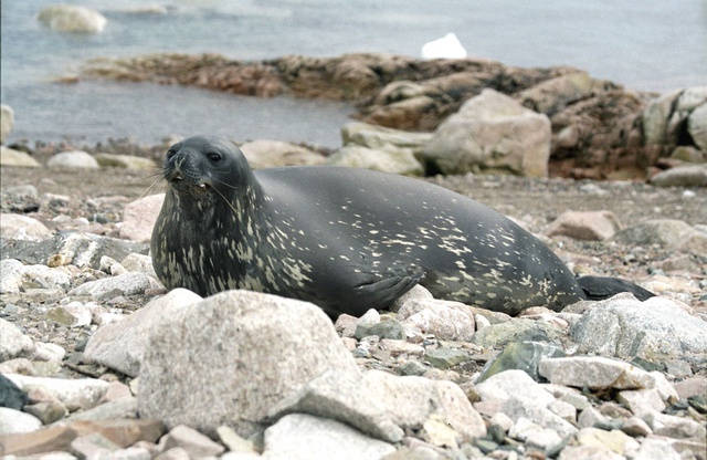
Weddell Seal, Neko Harbour, Antarctica (image: Creative Commons by author: Jerzystrzelecki https://commons.wikimedia.org/wiki/File:Weddell_Seal_(js)1.jpg)
Weddell seals are important to the Southern Ocean ecosystem and have been studied since the early 1900s. However, no one has been able to do a comprehensive count of the seals due to the harsh Antarctic weather and remote locations in which the seals live. Now, high-resolution satellite images provide a solution—counting seals on satellite images—but there are too many images for scientists to handle alone.
The citizen science project, called Satellites Over Seals (SOS), focuses on about 300 miles of Antarctic coastline along the Ross Sea. Anyone can view the satellite images online from anywhere in the world and help with the count. Crowdsourcing research in this way allows researchers to efficiently and effectively comb through large amounts of data using the public’s help.
“We couldn’t do this without help from citizen scientists and that’s why partnering with the crowdsourcing website Tomnod to do this project was critical,” said Michelle LaRue, a research ecologist in the University of Minnesota’s Department of Earth Sciences and lead researcher on this project. “Even though our research team has people who are Weddell seal experts and know how to count seals on the images, it would take years for us to count them all.
Continue reading the story at University of Minnesota website.


